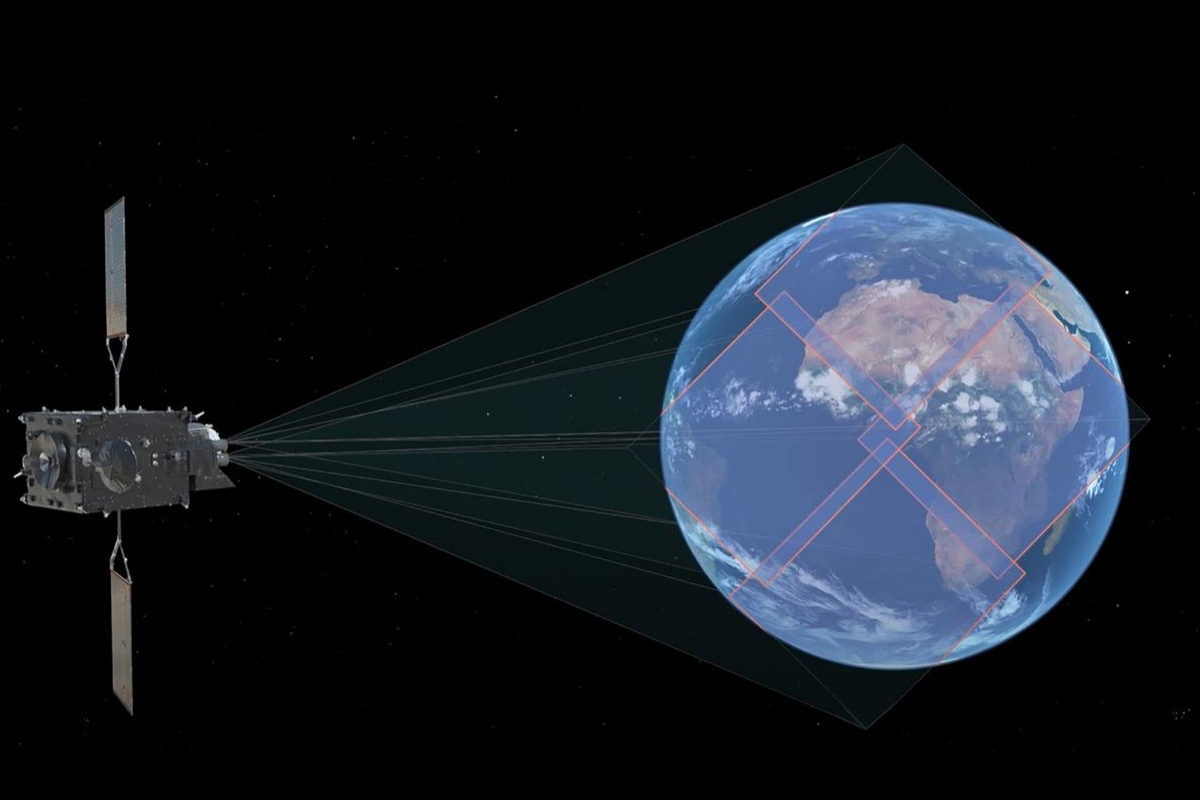
The European Space Agency (ESA) activated its new lighting tracking satelite Monday, July 3. The device is now begin utilized to detect lighting on Earth and predict extreme storms. ESA provided the public with the very first images from the satellite, which is the first of its kind to be continuously capable of detecting these climate conditions across Europe and Africa.
This tracker is equipped with the Lightning Imager tool, which can show and forecast storms through four cameras. They can capture up to 1.000 photos per second and it has been representing a significant help to give weather forecasters more data for their predictions, especially in territories such as Europe, Africa, the Middle East, and parts of South America. In addition, the lighting imager has been providing help in the oceans, where lighting detection had been very limited until now.
The top-notch satellite will also help air travel and is set to bring some solutions to the problem lighting brings for airplanes’ on board Instruments. About this, Phill Evans, with the European Organization for the Exploitation of Meteorological Satellites, stated:
“Severe storms are often preceded by abrupt changes in lightning activity. By observing these changes in activity, the lightning imager data will give weather forecasters additional confidence in their forecasts of severe storms. When these data are used in conjunction with the high-resolution data from the Flexible Combined Imager, weather forecasters will be better able to track the development of severe storms and have a longer lead-in time to warn authorities and communities.”
All in all, the invention makes a valuable input to understanding the lighting phenomena’ impact. The satellite will be beneficial for scientific studies, meteorology, forecasting, and air safety.

